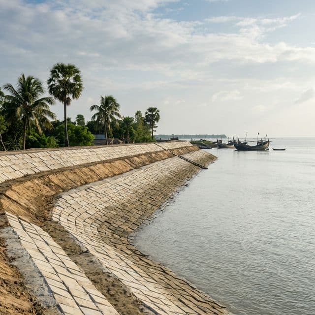
SURF-IT Climate Intelligence for Coastal Bangladesh
SURF-IT brings together field sensors, satellite imagery, and community knowledge into a single decision-support platform — built to protect embankments, livelihoods, and lives along Bangladesh's most exposed coast.
Three pillars of coastal resilience
Every signal in SURF-IT flows into one of three layers of intelligence — from structural condition to forward-looking risk.
Vulnerability Assessment
Comprehensive tracking of physical and anthropological indicators across all embankment segments.
Failure Forecasting
Predictive modeling for overtopping and breaching risks with clear probability scoring.
Impact Forecasting
Detailed Mouza insights and data exports for disaster response planning.

Where ground truth meets orbit
We combine three independent streams of evidence so a single failed source can never blind the system. Each stream is calibrated against the others before it reaches a decision-maker.
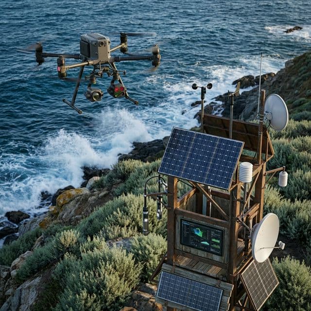
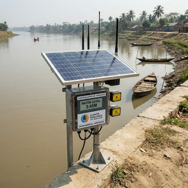
On-the-ground Sensors
Water-level, rainfall and structural sensors stream real-time readings from across the embankment network.
Satellite Imagery
Continuous remote sensing captures land-cover, erosion and inundation patterns at regional scale.
Community Reporting
Local observers verify and contextualise alerts so decisions are grounded in lived experience.
Built by a coalition
SURF-IT is the work of a coalition that brings field experience, academic rigor and humanitarian reach together.

Uttaran
People Know Best

North South University
Bridging Global Knowledge

Action Against Hunger
Until the world is free from hunger